AI species detection
A machine-learning model recognises over 2,000 species in your photos automatically, with a confidence level for each. You can correct it manually when needed.
Everything from your trail cameras in one place — with AI that reads the photos, recognises the species and answers your questions.
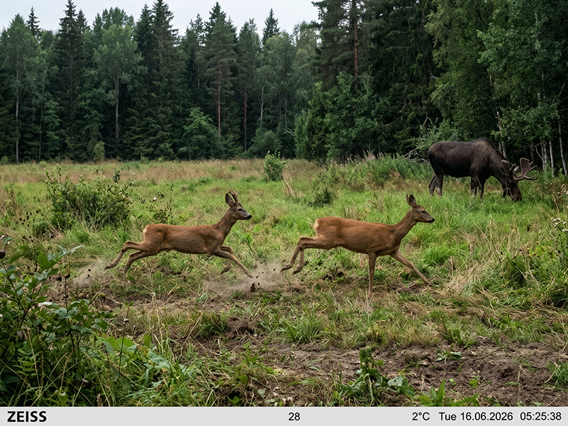
AI search understands what you’re asking and gives you an answer in seconds — straight from your own observations.
A machine-learning model recognises over 2,000 species in your photos automatically, with a confidence level for each. You can correct it manually when needed.
Automatically reads the camera name, date and time from the photo — so observations land on the right timeline.
Go through observations in overview, timeline and detail, and correct a detection manually when something needs adjusting.
Draw area bounds and zones, place the cameras on the map, and play back movement along the trails.
Connects observations to temperature, wind, precipitation, wind direction, barometric pressure and moon phase — with historical weather data.
Set up alerts per species, and get a push notification on your phone when something important shows up.
Register harvested game with details, and keep your kills together with the area’s observations.
Share the area with your team, and manage cameras, users and roles with different access levels.
Bulk upload and email intake from the cameras, with queue status and a dedicated flow to fix failed observations.
Limits species identification to the species that actually occur in your country and its neighbours, so non-native and implausible matches are filtered out.
See what has happened since your last visit, and get automatic species summaries by email.
Play back the movement between cameras over time, and see how wildlife travels through the area.
Praktiske, kildebelagte guider om viltkamera, artsbestemmelse, dyreatferd og naturfoto.
 Storvilt
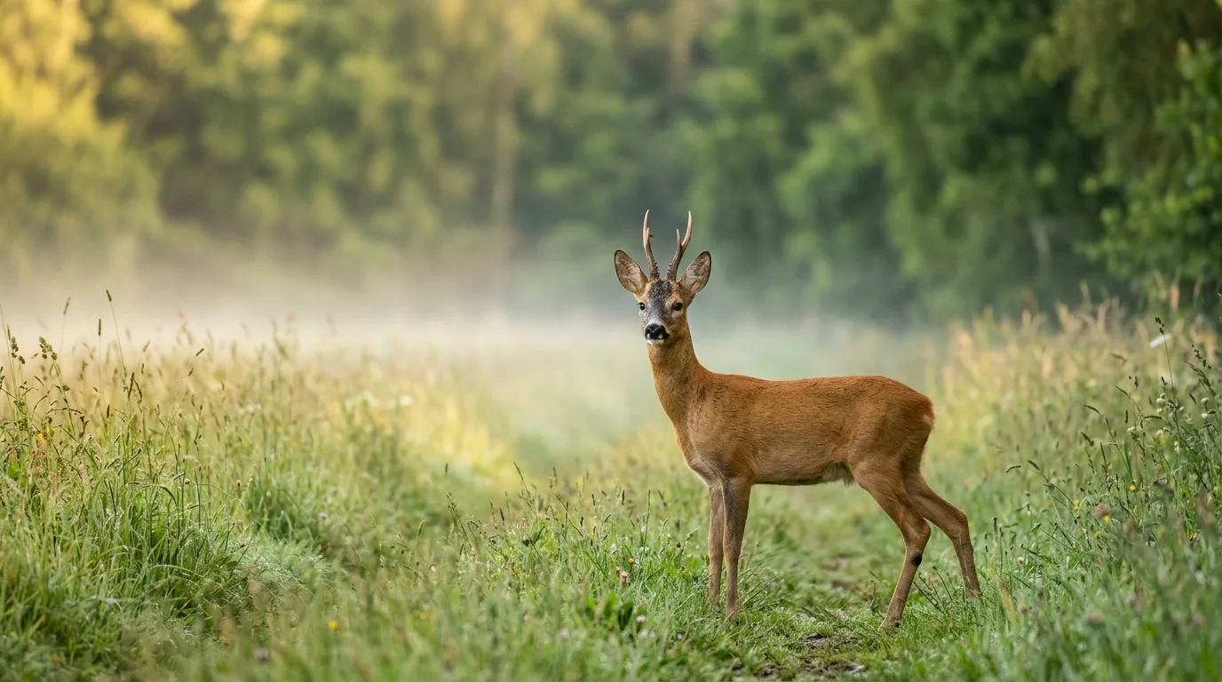
Bukkejakt på rådyr fra 10. august: jakttider, brunst og revir, døgnrytme, smyg-, posterings- og lokkejakt – og hvordan du mønstrer én bestemt bukk med viltkamera.
 Storvilt
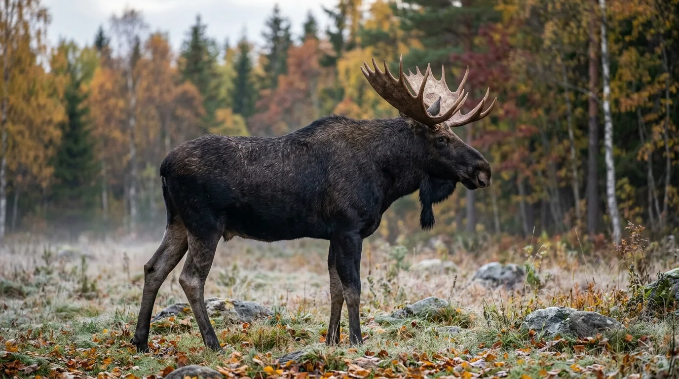
Hvor sikter du på elg, hjort og rådyr for rask, human avliving? Bog- og lungeskudd, treffområdet bak bogbladet, dyr på skrå – og hva du må unngå.
 Storvilt
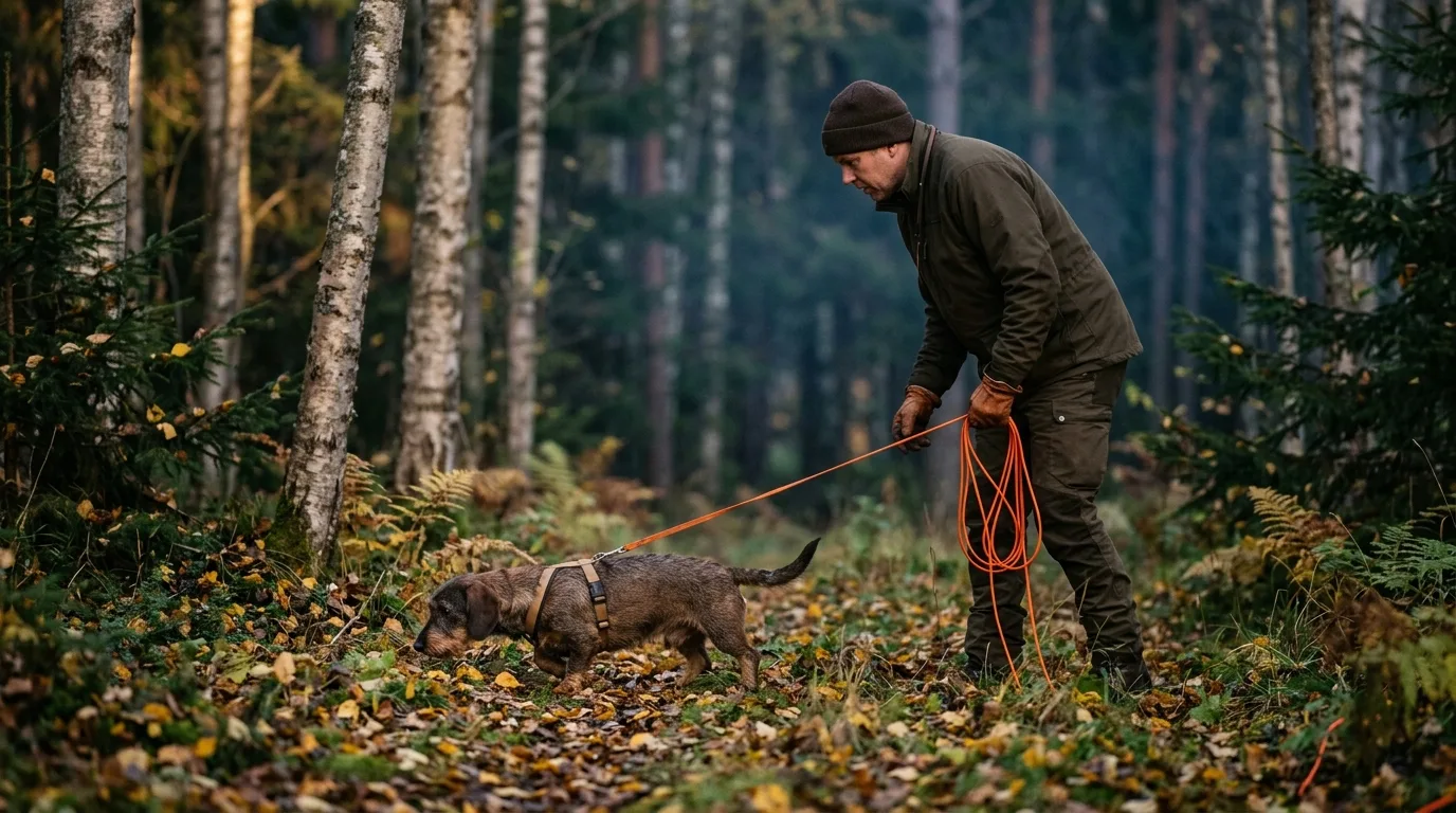
Slik leser du skuddtegn og blodspor etter skadeskutt hjortevilt, hvor lenge du venter, og når du plikter å tilkalle godkjent ettersøkshund. Lov, ventetid og skuddplassundersøkelse forklart for jegeren.
Practical, source-backed guides on trail cameras, wildlife ID, animal behavior, and photography.
 Cameras & Gear
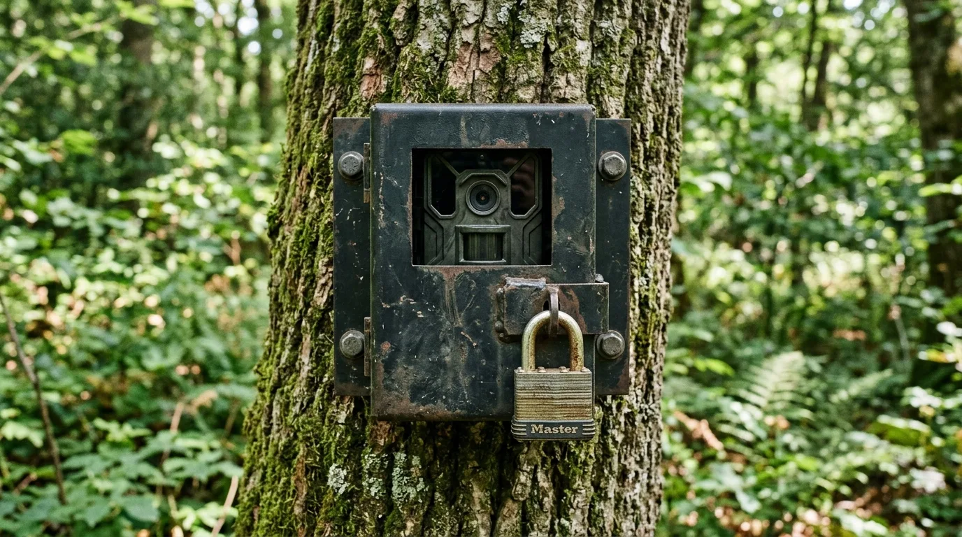
Trail camera theft is common and no camera is theft-proof. Practical ways to make yours a hard target — locks, boxes, placement, no-glow IR, and recovery.
 Wildlife ID
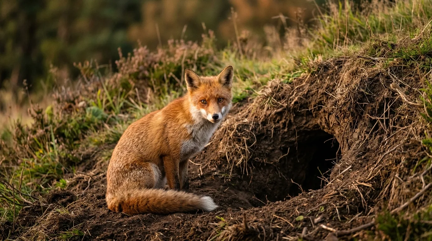
Identify the animal that made a hole by reading the entrance — size, shape, spoil, number of holes and location. A field guide to burrows, dens and setts.
 Farm & Homestead
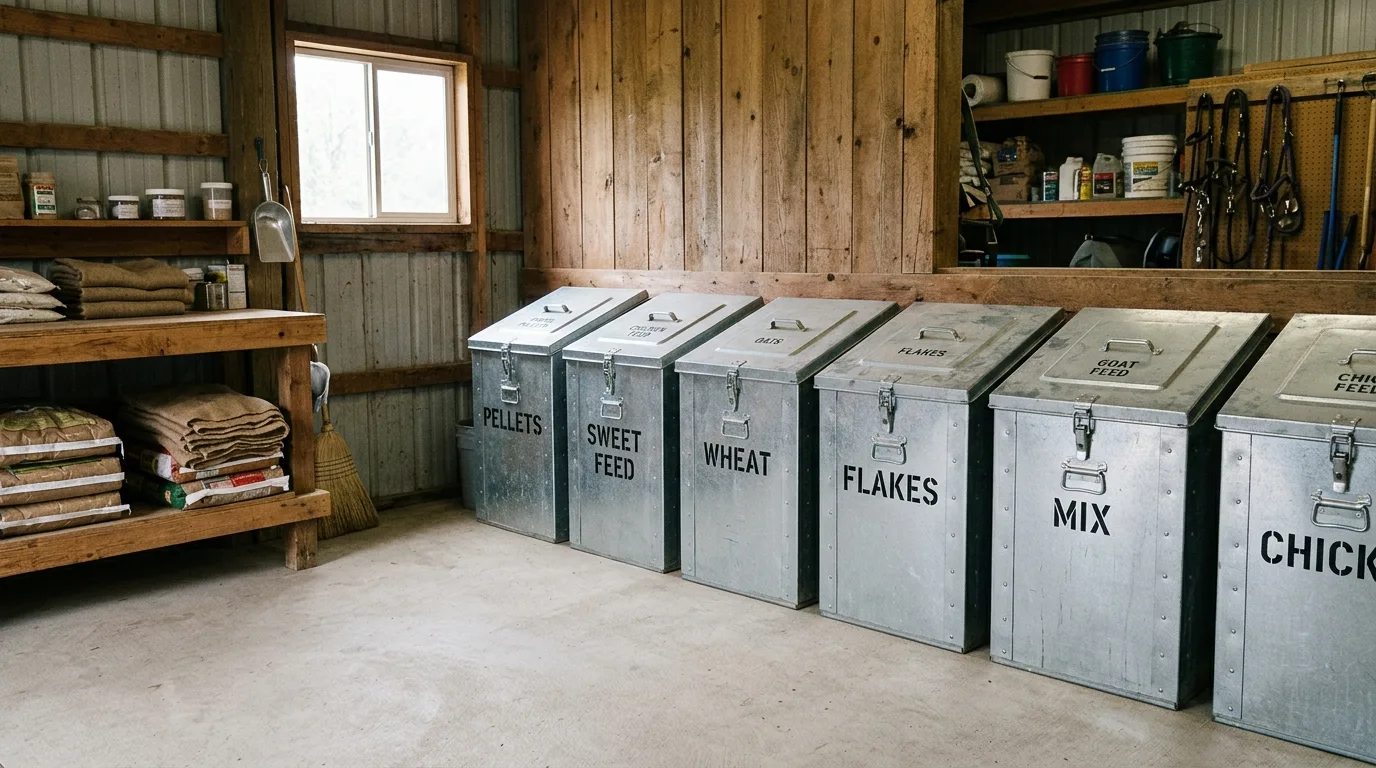
A practical guide to rodent-proofing barns, coops and stored feed: seal the gaps, store feed in metal, cut the harborage, then trap and bait the right way.
Praktiska, källbelagda guider om viltkamera, artbestämning, djurbeteende och naturfoto.
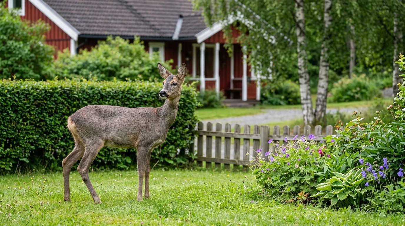 Gård och trädgård
Rådjur och annat klövvilt drar fästingar till trädgården. Så använder du viltkameran för att se vilket vilt som besöker tomten – och så minskar du fästingrisken med stängsel, kort gräs och torra ytor. Råd från SLU, SVA och Folkhälsomyndigheten.
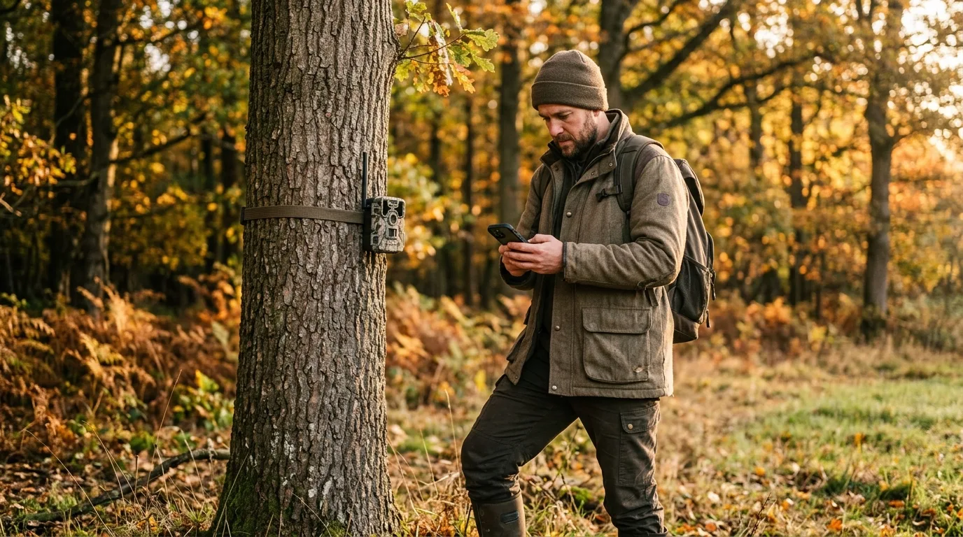 Kameror och utrustning
Så väljer och placerar du en sändande 4G-åtelkamera under svenska förhållanden: täckning i skogen, SIM och data, GDPR-skylt enligt IMY, batteri och sol i kyla, antenn och åtelregler enligt NFS 2026:1.
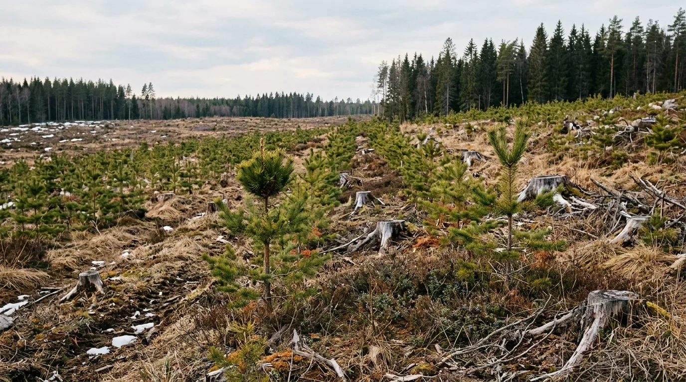 Gård och trädgård
Så känner du igen toppskottsbete, barkgnag och stambrott i ungskog och planteringar – och hur en viltkamera knyter skadan till rätt klövvilt och rätt tidpunkt. Kontrollera reglerna mot IMY.
Praktiske, kildebaserede guider om vildtkamera, artsbestemmelse, dyreadfærd og naturfoto.
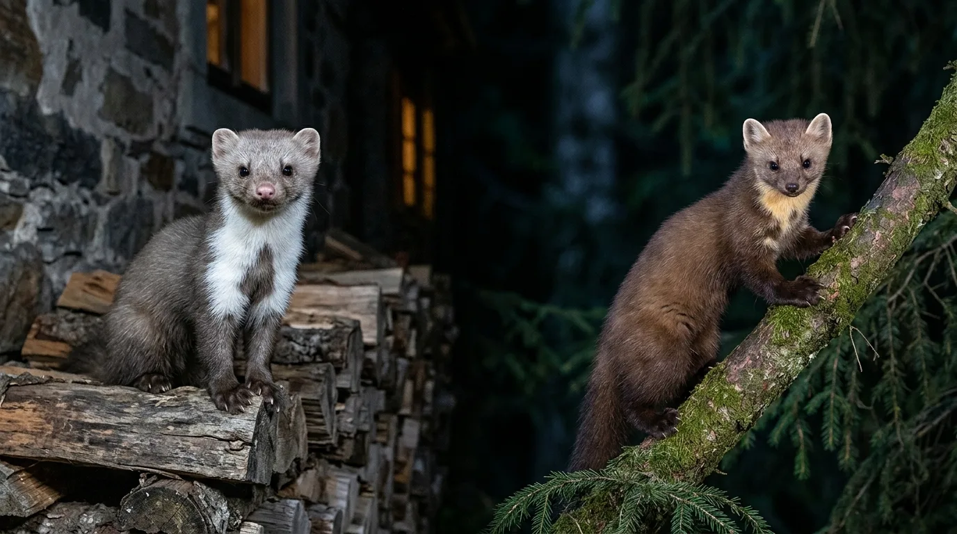 Rovdyr og pelsdyr
Skovmår eller husmår? Lær at kende de to mårarter på halsplet, snude, ører og adfærd — og hvorfor et vildtkamera afgør sagen, når den fredede skovmår er på spil.
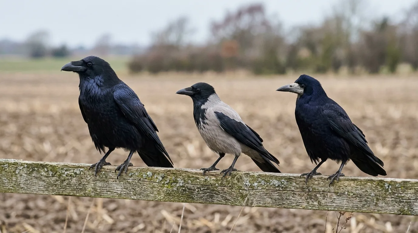 Fugle
FugleRavn, krage eller råge? Skel Danmarks tre store sorte kragefugle på størrelse, næb, hale og kald — og fang dem på vildtkamera. Praktisk dansk artsbestemmelse.
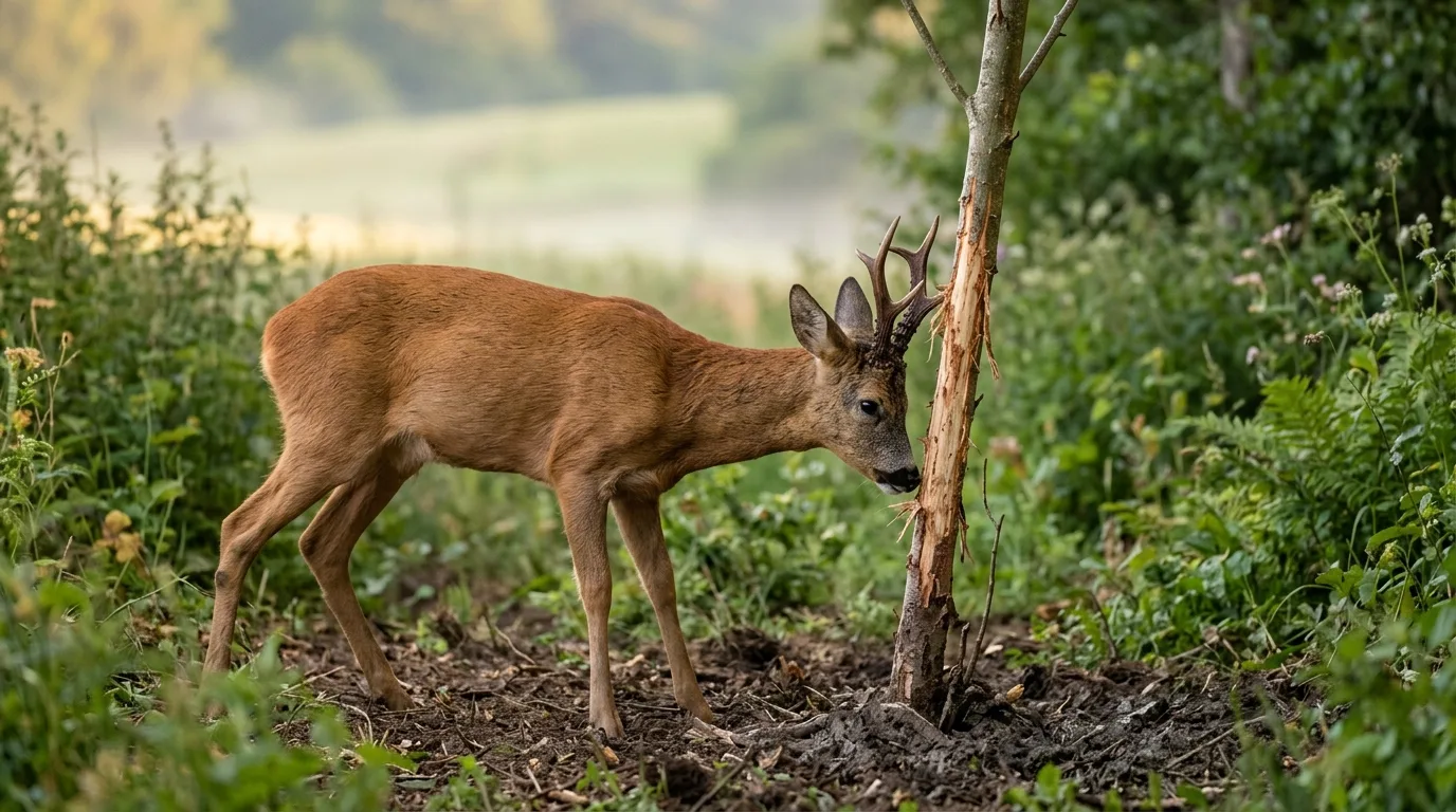 Storvildt
Rådyrets sommerbrunst i juli-august: forstå bukkens territorium, fejninger og skrab, og kortlæg pladsbukken med vildtkamera. Praktisk dansk guide.
Guías prácticas y con fuentes sobre cámaras de fauna, identificación de especies, comportamiento animal y fotografía de naturaleza.
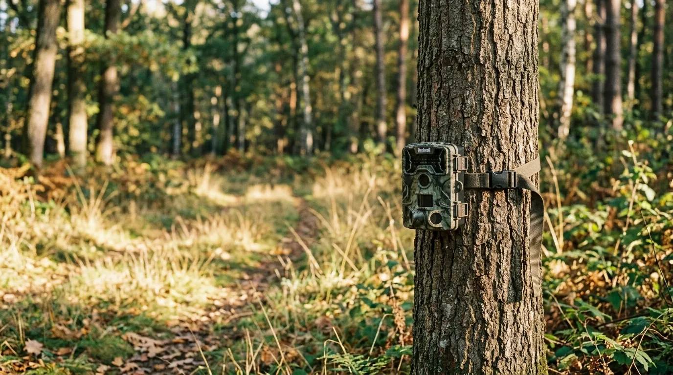 Cámaras y equipo
Dónde colocar la cámara de fauna para captar especies esquivas: lee el paisaje, elige un cuello de botella, ajusta altura y ángulo, y usa el cebo solo cuando ayuda.
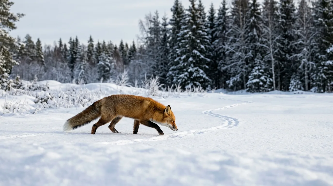 Depredadores y peleteros
Cómo leer el comportamiento del zorro (Vulpes vulpes) en la cámara de fauna: territorio, marcaje, ritmo diario, dispersión y madriguera, con datos reales.
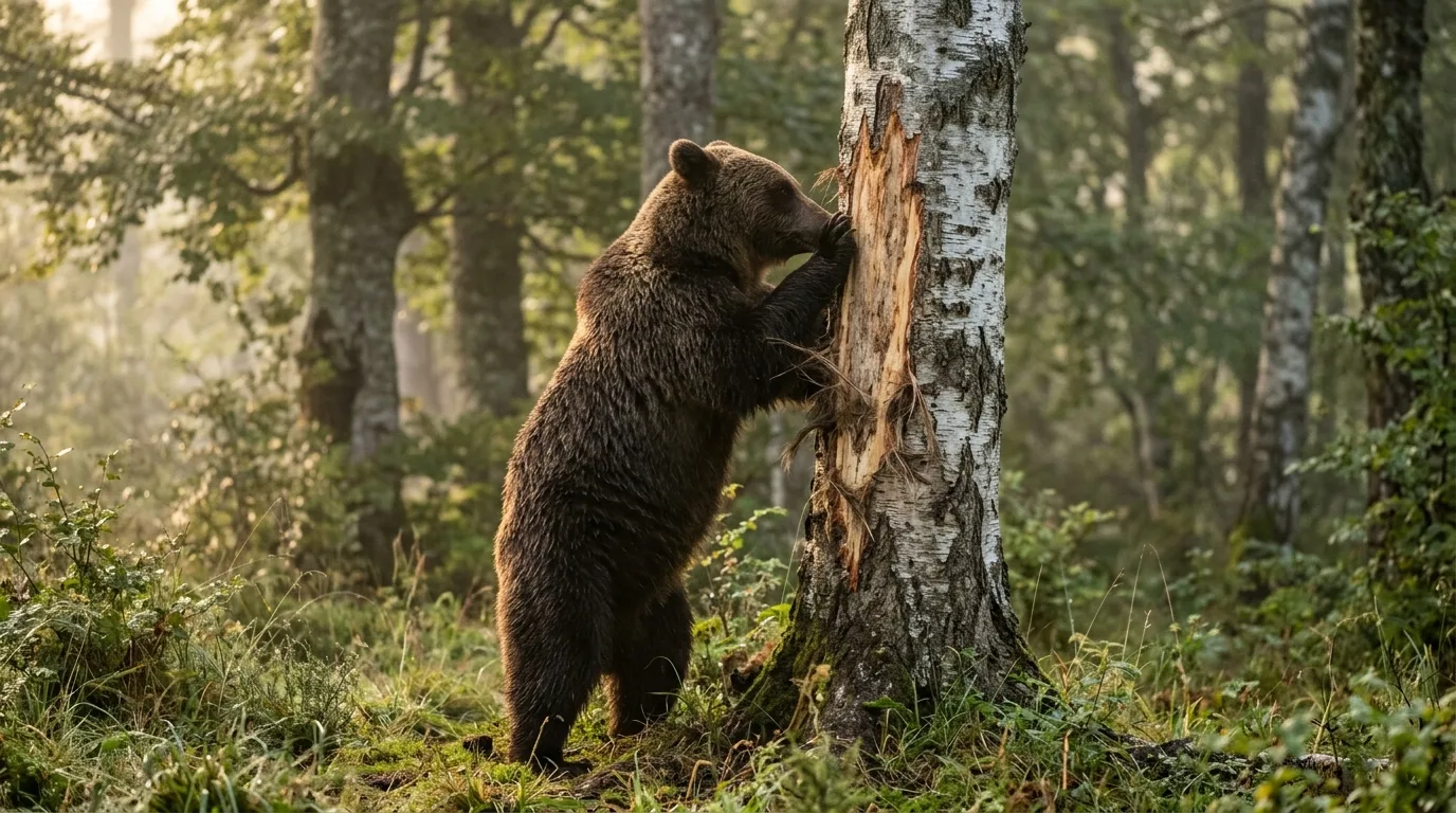 Identificación de especies
Huellas, árboles de frotamiento y excrementos del oso pardo y del oso de anteojos: cómo detectar su presencia con cámara trampa sin molestar a una especie protegida.
Praxisnahe, quellenbasierte Ratgeber zu Wildkameras, Artbestimmung, Tierverhalten und Naturfotografie.
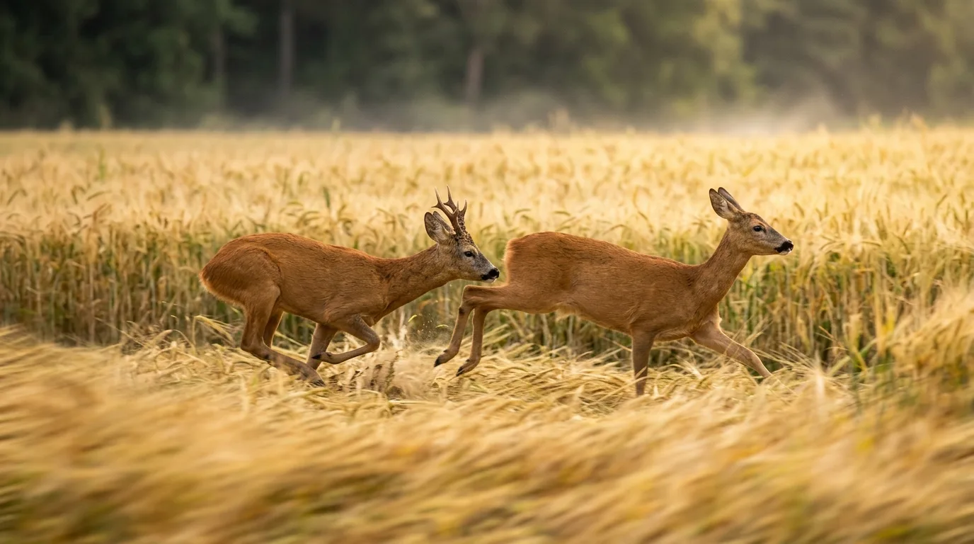 Schalenwild
Blattzeit beim Reh: Warum der Rehbock im Juli die Geiß treibt, was Hexenringe und Eiruhe bedeuten, wie du blattest — und wie du die Rehbrunft mit der Wildkamera dokumentierst.
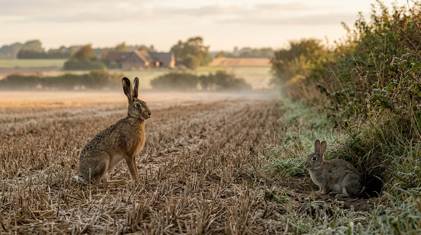 Artbestimmung
Feldhase oder Wildkaninchen? So erkennst du an Größe, Löffeln, Augen, Lauf und Nachwuchs, wer vor deiner Wildkamera sitzt — und wann sich das Beobachten am meisten lohnt.
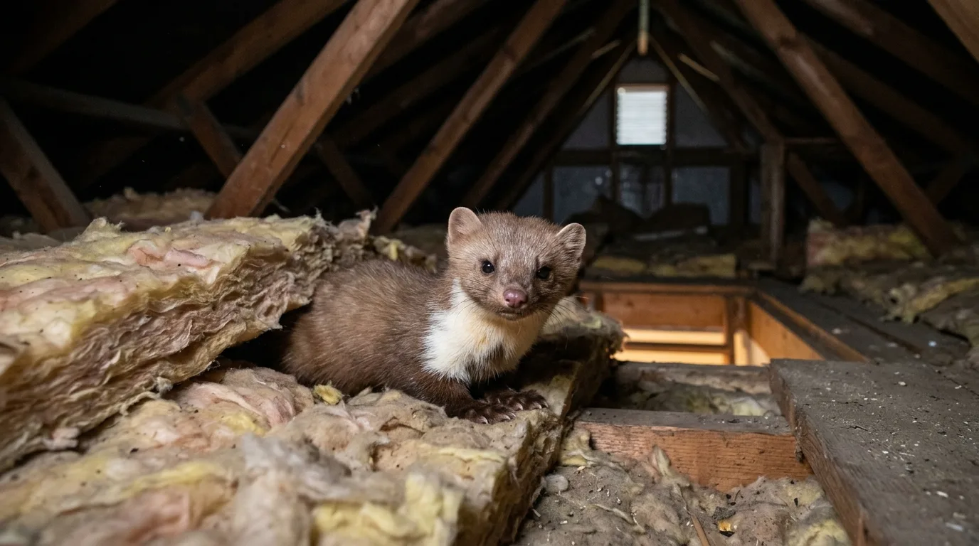 Hof und Garten
Marder auf dem Dachboden? So erkennst du ihn an Lärm, Kot und Spuren, überführst ihn mit der Wildkamera, findest den Einschlupf — und wirst ihn legal und tierschonend los.
Des guides pratiques et sourcés sur les caméras de faune, l'identification des espèces, le comportement animal et la photographie animalière.
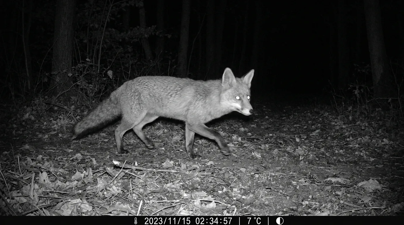 Recherche et science participative
Nocturne, crépusculaire ou cathéméral ? Comment lire le rythme d'activité d'un animal à partir de l'horodatage de votre caméra de faune — et ce que la phase lunaire y change.
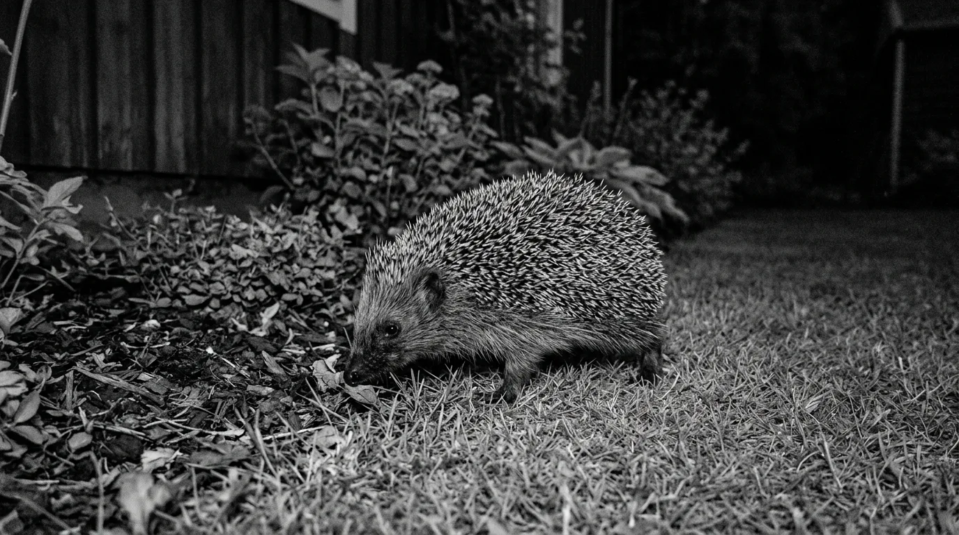 Identification des espèces
Silhouette, démarche, crottes, empreintes, sentiers : comment reconnaître un hérisson sur votre caméra de faune la nuit — et le distinguer d'un rat ou d'un jeune ragondin.
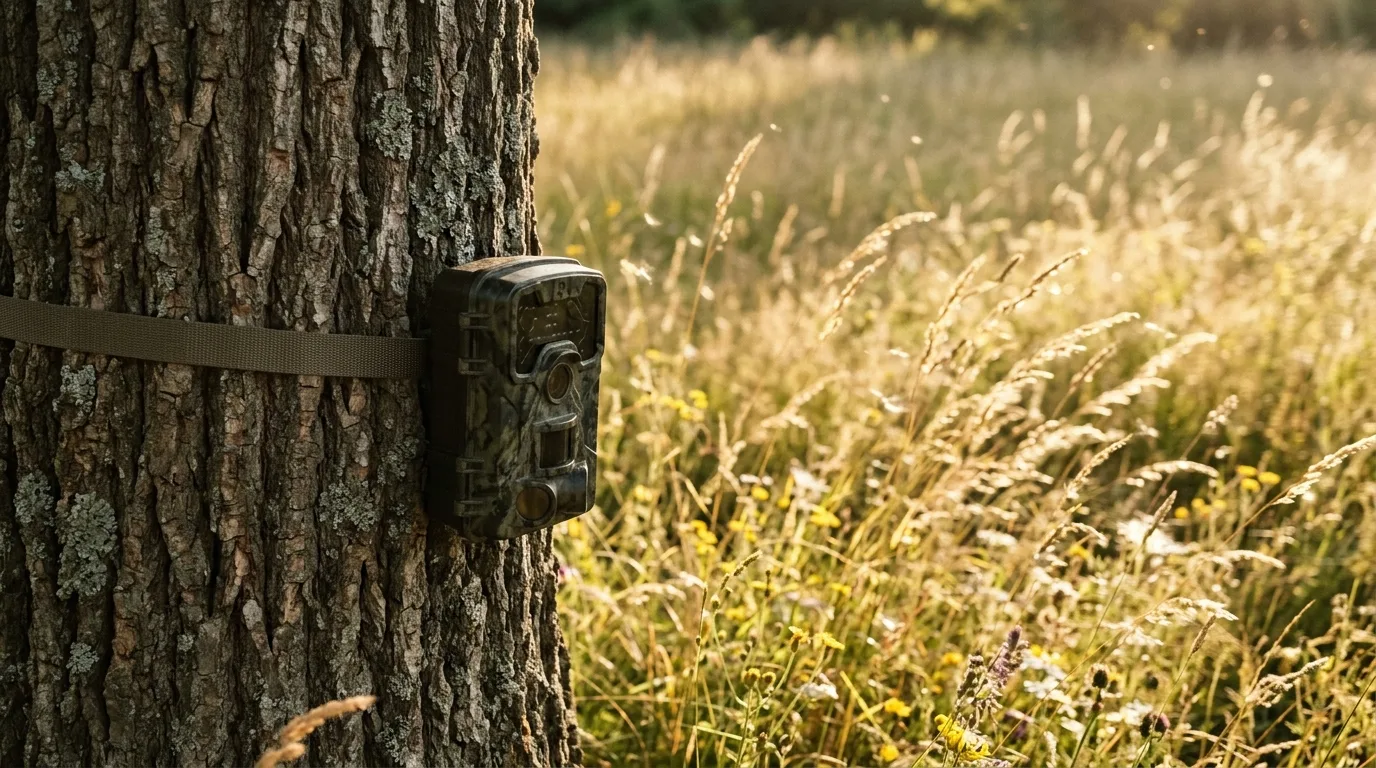 Caméras et équipement
Votre caméra de faune se déclenche sans animal et sature la carte d'images vides ? Diagnostic pas à pas du capteur PIR et correctifs concrets pour retrouver des photos utiles.
Guias práticos e fundamentados sobre câmeras de fauna, identificação de espécies, comportamento animal e fotografia de natureza.
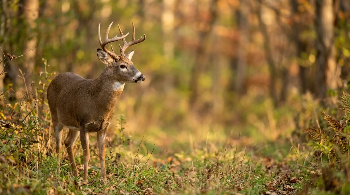 Fotografia de natureza
Como conseguir fotos publicáveis com câmera de fauna — enquadramento na trilha, luz, fundo e disparo — sem iscar, cercar ou estressar o animal. Ética de campo.
 Pesquisa e ciência cidadã
Como contar animais na câmera de fauna: separe eventos independentes, use marcas naturais e saiba quando dá (e quando não dá) estimar indivíduos.
 Câmeras e equipamento
Por que a bateria da câmera de fauna acaba rápido no calor e no frio, e como escolher lítio, alcalina, NiMH, solar e ajustes para fazê-la durar meses.
Guide pratiche e basate su fonti su fototrappole, riconoscimento delle specie, comportamento animale e fotografia naturalistica.
 Predatori e mustelidi
Lo sciacallo dorato si espande in Italia: come distinguerlo da lupo, volpe e cane sulla fototrappola, ecologia, ululato e stato di specie protetta.
 Fotografia naturalistica
Il bramito del cervo: la biologia del segnale onesto, dove e quando viverlo (metà settembre–metà ottobre) e come osservarlo senza disturbare.
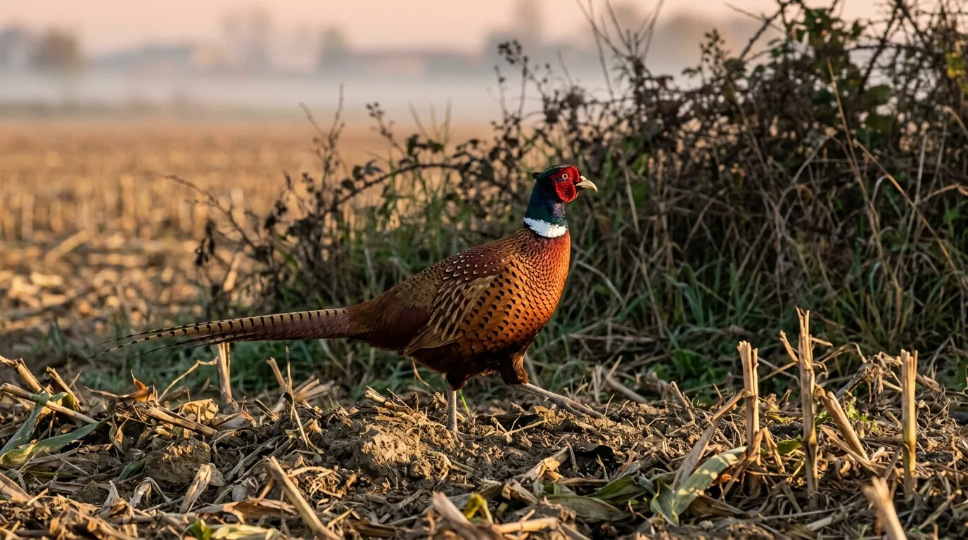 Uccelli
Riconoscere i galliformi italiani: fagiano, starna, pernice rossa, coturnice, quaglia e i galli alpini a confronto per taglia, piumaggio, quota e canto.
Praktyczne, oparte na źródłach poradniki o fotopułapkach, rozpoznawaniu gatunków, zachowaniu zwierząt i fotografii przyrodniczej.
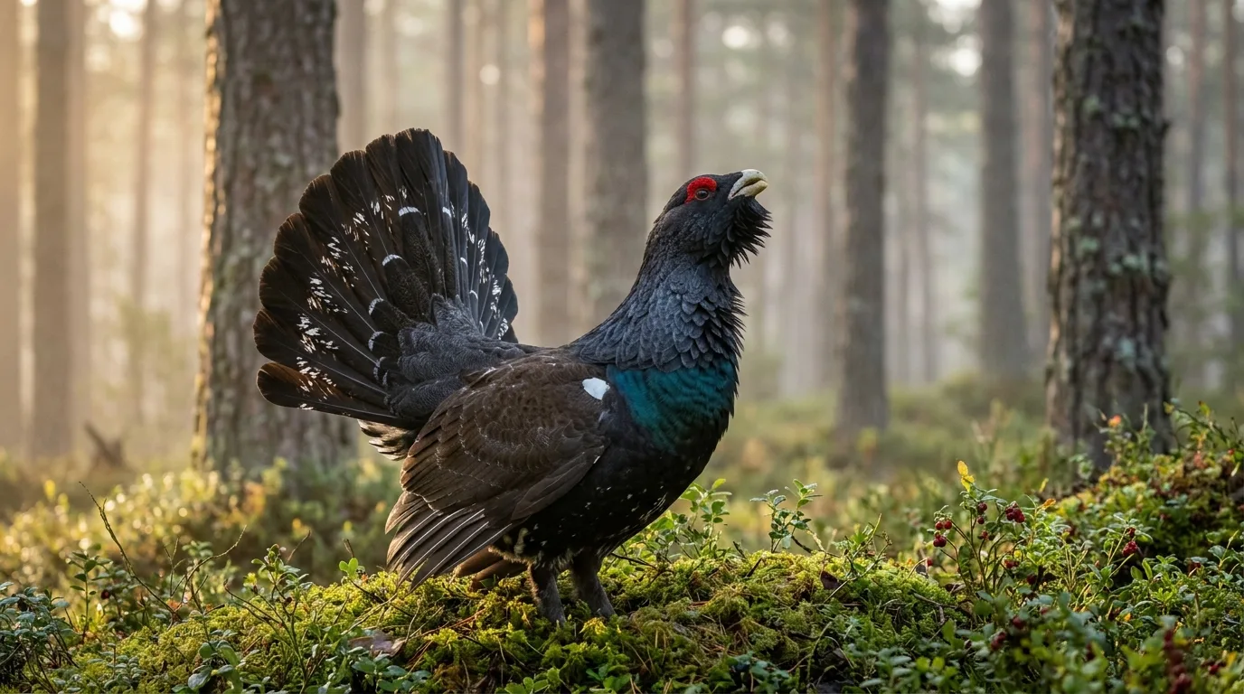 Ptaki
PtakiJak odróżnić głuszca od cietrzewia, ile ich zostało w Polsce i jak fotopułapki wspierają monitoring oraz czynną ochronę tych skrajnie zagrożonych kuraków leśnych.
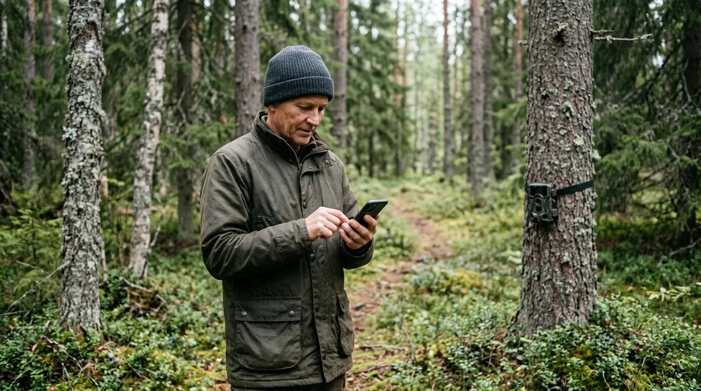 Nauka i nauka obywatelska
Gdzie zgłaszać obserwacje przyrodnicze w Polsce? Ornitho.pl, atlasy IOP PAN, monitoring dużych drapieżników, gatunki inwazyjne, RODO i rola fotopułapek.
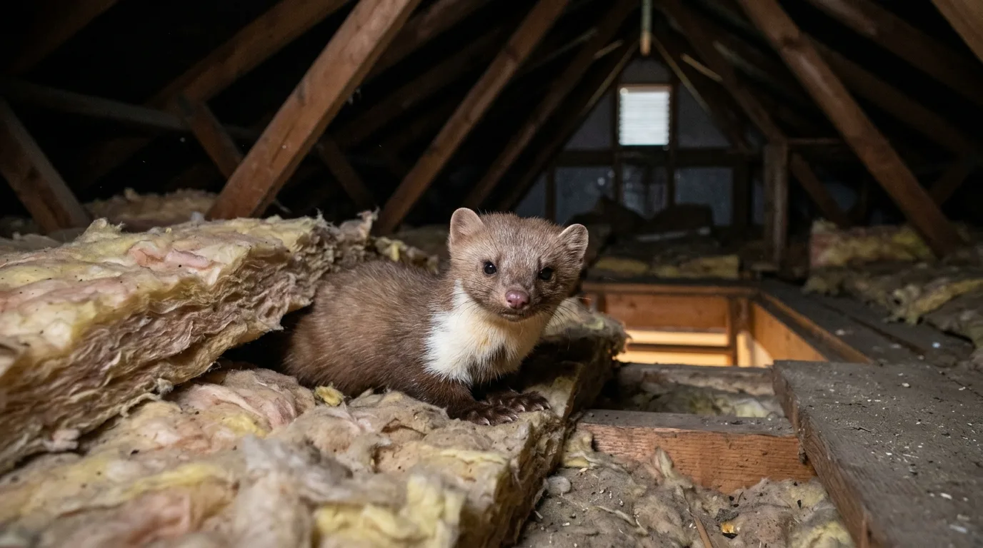 Gospodarstwo i ogród
Kuna na strychu lub pod maską? Poznaj ślady, szkody, prawdziwy status prawny (zwierzę łowne, nie „pod ochroną”) i humanitarne sposoby na kunę domową.
Käytännönläheiset, lähteisiin perustuvat oppaat riistakameroista, lajintunnistuksesta, eläinten käyttäytymisestä ja luontokuvauksesta.
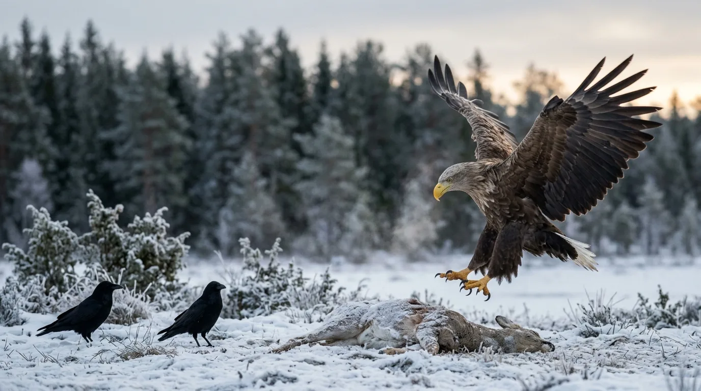 Linnut
Maakotka vai merikotka? Kanahaukka vai piekana? Näin tunnistat haaskalla käyvät petolinnut riistakameran kuvasta – koon, siluetin ja ikäpuvun avulla.
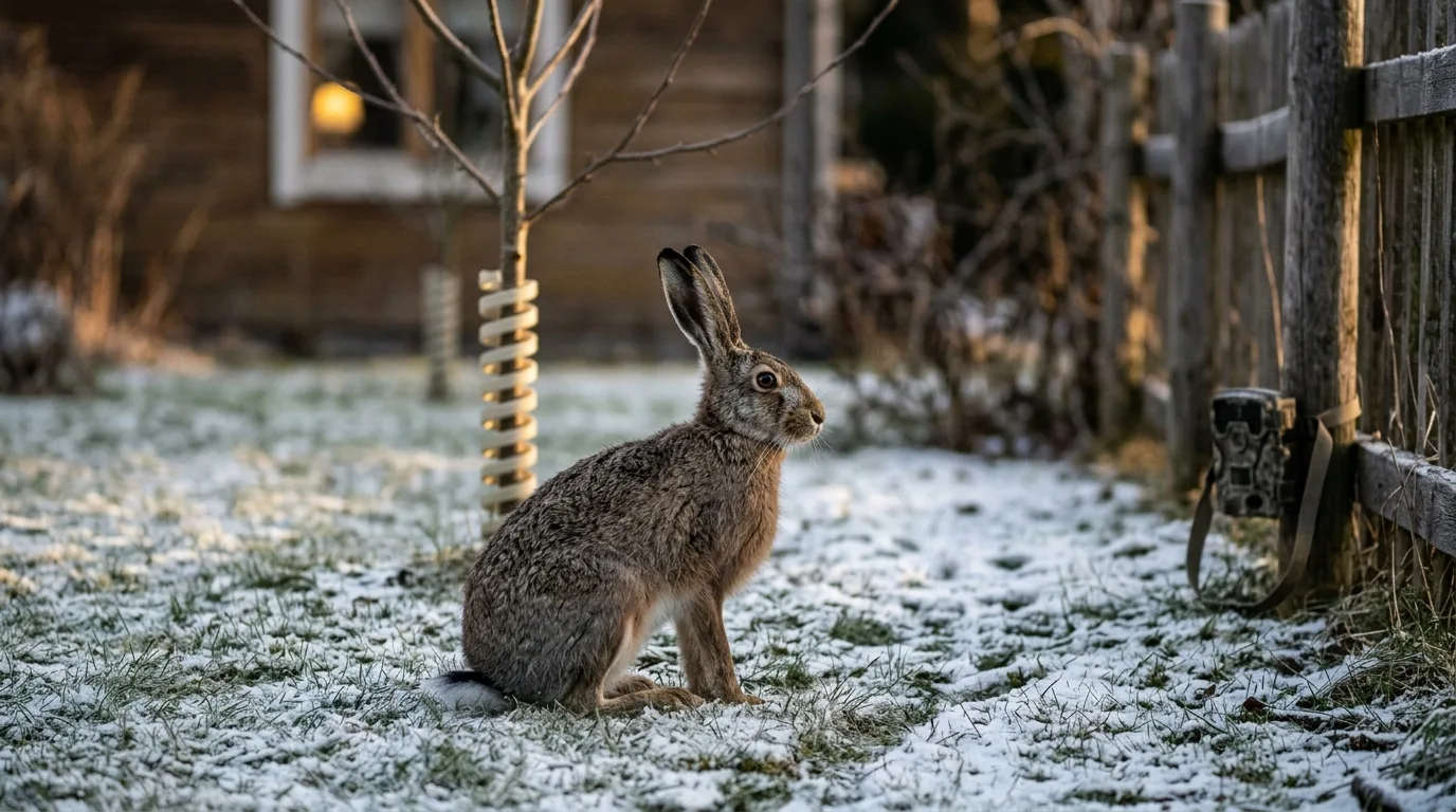 Lajintunnistus
Rusakko vai metsäjänis? Näin erotat lajit koosta, korvista, hännästä ja talviturkista – ja suojaat omenapuut ja pensaat jänistuhoilta.
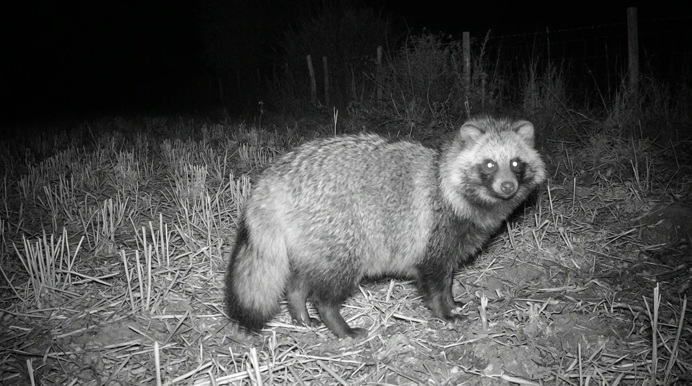 Petoeläimet ja turkiseläimet
Supikoira, mäyrä vai näätä riistakameran yökuvassa? Tunnista naama, vartalo, häntä, jäljet ja ulosteet – ja tiedä, miksi vain yhden tunnistus on lain asia.
Praktische, op bronnen gebaseerde gidsen over wildcamera's, soortherkenning, diergedrag en natuurfotografie.
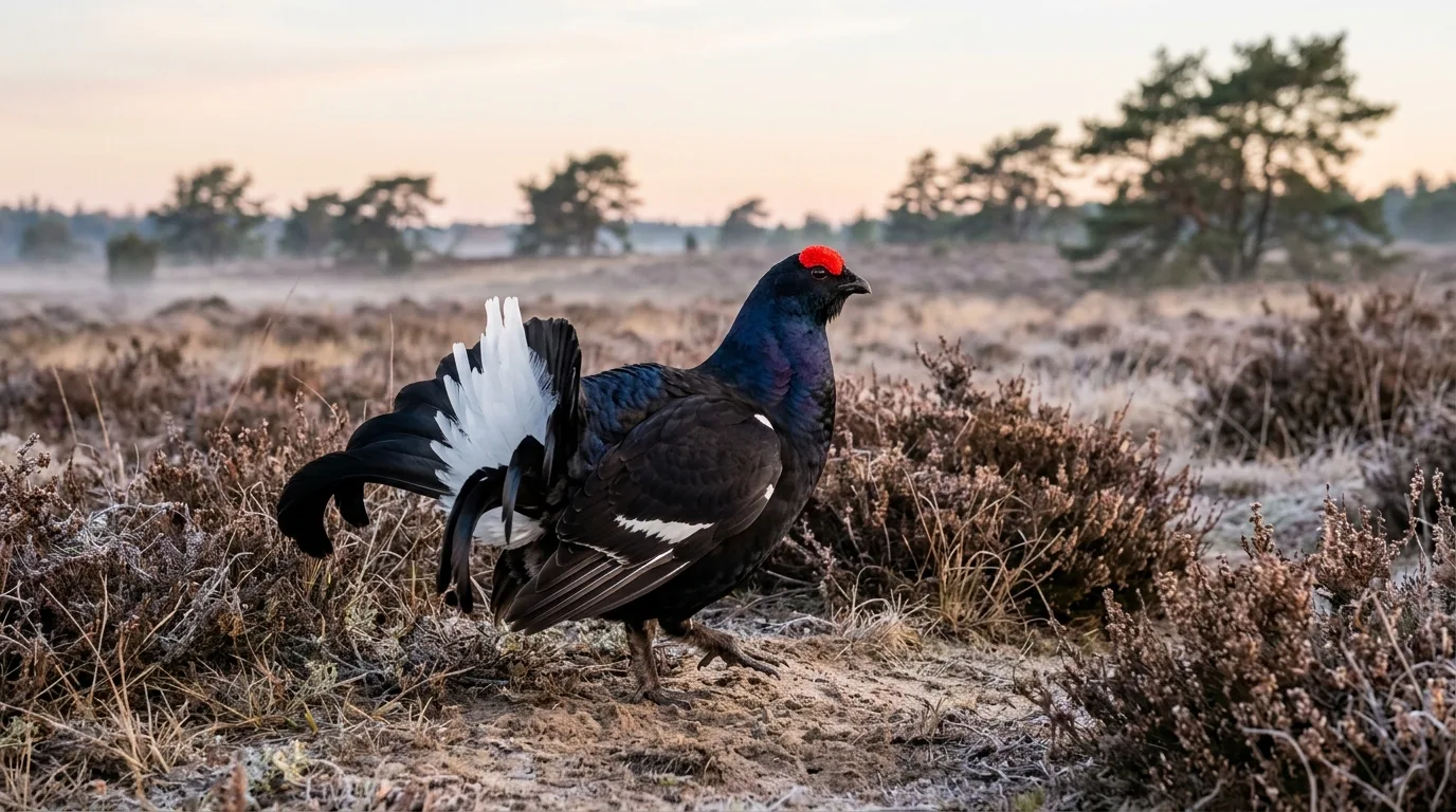 Vogels
Herken korhoen en patrijs, begrijp waarom ze hier verdwijnen terwijl ze wereldwijd niet bedreigd zijn, en volg ze verantwoord met een wildcamera.
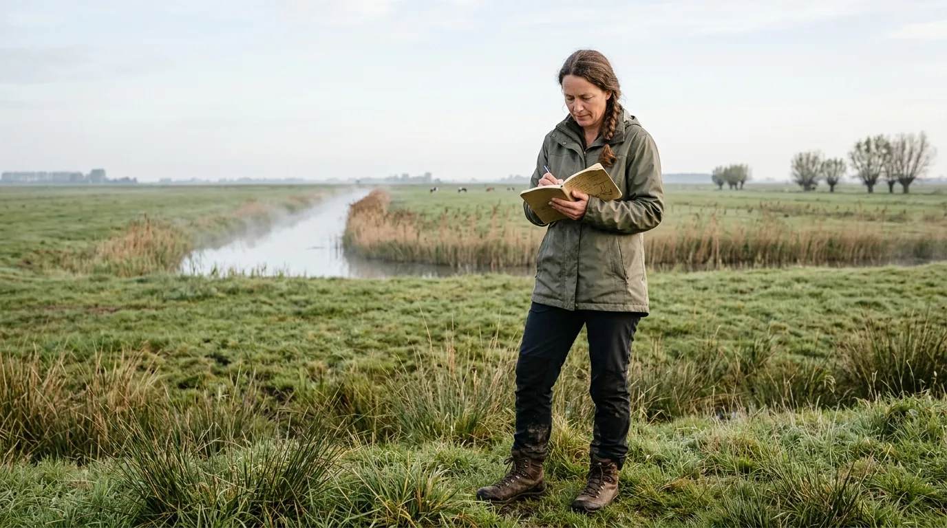 Onderzoek en burgerwetenschap
Waar en hoe meld je dierwaarnemingen? De officiële route via NDFF, SoortenNL, meetnetten.be en Natuurpunt — plus wat een waarneming écht bruikbaar maakt.
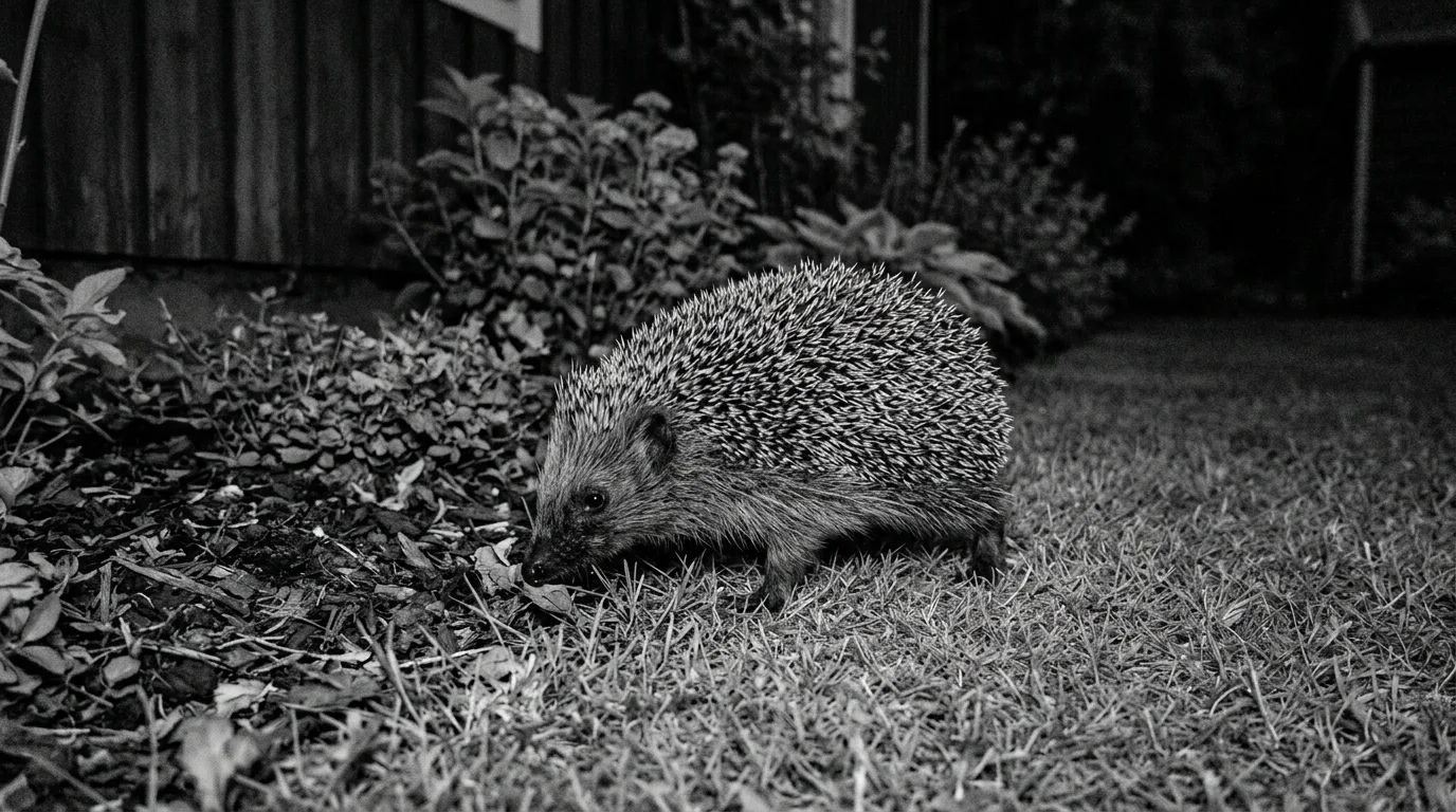 Erf en tuin
Herken de egel aan zijn sporen, volg hem met een wildcamera en maak je tuin egelvriendelijk — met de wetenschap achter robotmaaiers, gif en vijvers.
Create an account with name, email, area code, country, timezone and the first bounds.
Add the cameras, place them on the map, and set up upload or email intake.
OCR reads the camera name, date and time, and the model recognises the species in every photo automatically.
Search in your own words, analyse against weather and maps, and get notified when a species shows up.
trail.cam is in closed beta. Apply for access and tell us how you use your trail cameras, and we’ll be in touch.
We onboard new testers on a rolling basis.